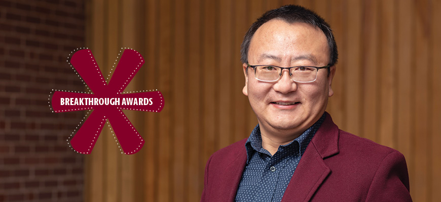
Breakthrough Star: Zhenlong Li
Geographer mines social media data for useful information during disasters
Posted on: June 9, 2020; Updated on: June 9, 2020
By Chris Horn, chorn@mailbox.sc.edu, 803-777-3687
Zhenlong Li likes to say that his professional field — geographic information science — has been mining big data since before that term was even coined.
And while GIS has always relied on data-rich satellite imagery to make better sense of the geo-spatial world we live in, scholars like Li are now tapping into social media platforms, including Twitter, Instagram and Facebook, to access even larger datasets. Li has focused his efforts on producing powerful computing methods and algorithms to interpret and convert the massive streams of tweets and postings into actionable information during disasters such as floods, wildfires, earthquakes and disease outbreaks.
Geospatial big data offers great opportunities for advancing scientific discoveries and applications across a broad range of fields, such as disaster management and public health.
Zhenlong Li, geographer
“We combine traditional big data computing analytic approaches with traditional GIS methods, like spatial analysis and spatiotemporal modeling, to look for patterns,” Li says. “In disaster applications, we create rapid mapping by mining Twitter and other social media for information about what is going on in the moment.”
Social media is self-reported so there is a lot of noise to filter out, and it must be validated with official data, Li says. But its value is immediacy. “During a flood, you need information quickly, in real time,” he says, adding that a satellite image of a flood zone that renews once a day is useful, but processing thousands of tweets every hour about what’s happening in people’s backyards can help save lives.
Li established the Geoinformation and Big Data Research Lab in the geography department to support applications such as disaster management, climate analysis, human dynamics, and public health. He is also involved in a multidisciplinary initiative called the Big Data Health Science Center, based in the Arnold School of Public Health.
Not surprisingly, Li often incorporates his research into his undergraduate and graduate courses in the College of Arts and Sciences, showing students its real-world applications. “I like to have the students do a lot of practical hands-on activities that help them understand GIS concepts and will help them in their future careers,” he says.
Looking ahead, Li sees artificial intelligence as the game changer for GIS and big data. “Geospatial big data offers great opportunities for advancing scientific discoveries and applications across a broad range of fields, such as disaster management and public health,” he says. “AI will give us the ability to interpret that data faster and more accurately. We’re working on a tool now that will use AI to automatically sift through social media photos posted during a disaster to sort through which ones are relevant. It will reduce labor and improve the process.”