What got you interested in hazards research — was there some defining moment?
I’ve always been interested in the relationships between human activity and the environment and human activity and high hazard zones. I was in my second year as an assistant professor at Rutgers University when Three Mile Island nuclear accident occurred. It does change you. You become more aware, more attuned to natural and technological threats that you might not have paid as much attention to before. I don’t have a complete disaster supply kit at my home or in my car, but my family does have a plan on how to contact each other should something happen when we’re apart. And I do pay attention to weather reports; that becomes second nature when you study the effects of natural hazards. When you’re in the field after a disaster, you become aware of the trauma and stress that people affected by it are dealing with — and that makes a big impression.
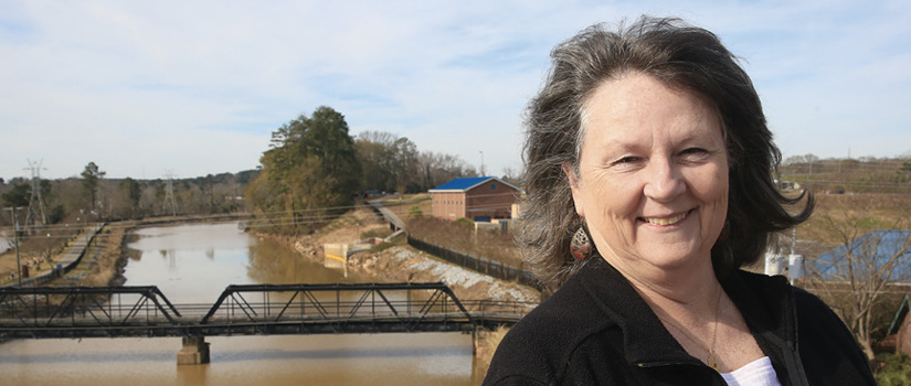
How did the Hazards and Vulnerability Research Institute get started?
The institute grew out of a hazards research lab I started in 1995, two years after I joined the geography faculty. I had been working to build ties with the state’s emergency management infrastructure before we got the lab going, and we’ve been working with them ever since. We were among the first to use remote sensing and geographic information systems to study hazards, and very quickly USC became the place to get an education in hazards research. We’ve become more integrated across campus since the hazards lab became the Hazards and Vulnerability Research Institute in 2006. In addition to the institute staff, we have faculty associates from civil engineering, history, public health and law.
A natural disaster is like a crash site; investigators want to gather evidence before it degrades. We are interested in documenting the impact of disasters immediately after the event so we can then trace progress toward recovery.
—Susan Cutter
How many graduate students have received some of their training through the institute?
Since 1998, 22 Ph.D. candidates and 34 master’s candidates have completed their degrees during their association with the institute. And recently, the university added a concentration in emergency management to the Master of Public Administration degree. Over time I think that’s going to help increase the number of professionals who can plan for and respond to disasters. Most of these students have had some experience in the field after a disaster.
What services does the institute provide for South Carolina and emergency management agencies across the country?
We’re focused on research and outreach that provides best practices and guidance and expertise concerning emergency preparedness and response, hazard mitigation and disaster recovery. We were involved during the recent flood response in South Carolina, running models for the state to determine the 100-year flood plain for every county as a quick way to estimate the extent of flood damage. We provide basic information for each state to determine its vulnerability to hazards. For example, each state and each county produces a hazards mitigation plan, and we provide information on vulnerability, a background picture on the potential hazards in that county and a snapshot of the different social groups who live there and their potential losses. We’ve created a database called the Social Vulnerability Index for counties to gather information about their own vulnerabilities. We want them to use the best science available.
What kind of research does the institute do after a disaster?
A natural disaster is like a crash site; investigators want to gather evidence before
it degrades. We are interested in documenting the impact of disasters immediately
after the event so we can then trace progress toward recovery. After Hurricane Katrina
along the Mississippi coast, a lot of areas were cordoned off, so we had to get credentialed
by FEMA to get past the military check points. We took tents, food and water and found
the only campground in southern Mississippi that still had electricity. We’ve gone
back to those same places along the Gulf, using GPS coordinates to take more photos
and gather more data. As a researcher it’s depressing to see
these places that once were vibrant and are still not back 10 years later. Hancock
County, Miss., is like a patchwork quilt; you’ll see one house rebuilt and several
more missing on a street — just a concrete foundation where the house used to be.
What are the risks in South Carolina?
Many citizens focus on hurricanes to the exclusion of other threats. The potential for tornadoes is often ignored here in the state. Also, keep in mind that the two recent presidential disaster declarations we’ve experienced in S.C. have come from ice and flooding. But, historically, the most significant threats here are severe weather and hurricanes. There is seismic potential in the Palmetto State, as well. One of the biggest earthquakes to hit east of the Mississippi was in 1886 near Charleston. That’s a low-probability but high-consequence risk.